A hiking app is a valuable tool for modern hikers. With features that include everything from a compass to trail guides, your smartphone can be a handy addition to your hiking gear. Whether you are just starting or are a seasoned hiker, there are plenty of hiking apps to help you plan your next adventure.
Of course, with so many options on the market, it can be challenging to find the best option. These apps have a good mix of features, usability, popularity, and user reviews. We have rounded up the best hiking apps for Android, whether you’re looking for a map to guide you along the way or an app that’s great for finding new trails in your area. From trail maps and GPS trackers to local hiking information and weather forecasts, these are our picks for the top 10 best hiking apps on Android phones!
AllTrails: Hike, Bike & Run


AllTrails is a GPS-based app for planning and tracking hikes, mountain biking, and trail running on a smartphone or tablet. After downloading the app to your phone, you create an account to access the maps and track your stats. You can also set up tours and filter the results by distance or difficulty level. On the left of the app are reviews written by their users, and you can check out your friends’ thoughts as well. There isn’t much in store in terms of videos or pictures on AllTrails, but it will be helpful if you plan on using it to plan your hike or run, mainly if you have limited experience with hiking or running apps.
The free app allows you to search for hikes in your area and show you the distance, difficulty, elevation change, and trail pictures. The maps are of reasonably high quality, and if you tap them with two fingers, they expand to show more detail and show you alternate routes for the hike. If you don’t have a data connection, the app will save your route information until you reach the trailhead. When you’re at the trailhead, it will show your location on a map and other details about that particular hike like distance, time spent hiking, and elevation gain/loss.
Hiking Project
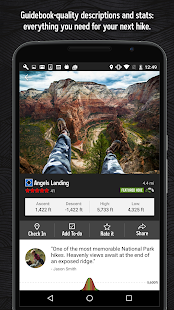
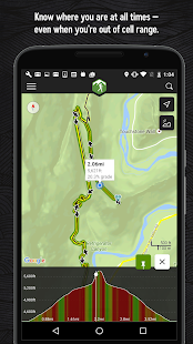
The app allows users to download trail data for offline access, and you can also search for trails based on your current location. You can then use the app to get directions to the trailhead and see a list of nearby trails. You can also view a list of trails you have created or favorited in the past, but you cannot start new trails from the app. You can browse the site from the web interface, which is much faster than navigating through many layers of menus in the app.
The site also has more detailed information about each trail, such as distance, elevation gain/loss, difficulty rating, etc. It also allows users to rate tracks (1-5 stars), writes reviews, add photos, and comment on other users’ reviews. This is useful if you want to find out what other hikers think about a specific trail before you go there yourself. Hiking Project also provides some great features like GPS tracking of user’s location, offline map download option, and current weather conditions of that area. Hiking Project is available for free on the play store.
Komoot: Cycling & Hiking Maps
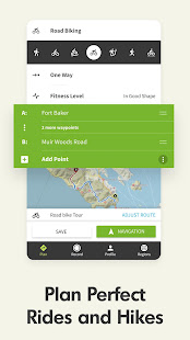
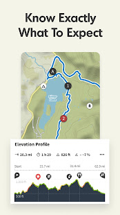
If you are looking for a hiking app with everything, you need to plan your next outdoor adventure, Komoot: Cycling & Hiking Maps is a great choice. It’s a free app that offers the best maps, route directions, and elevation information in an easy-to-use interface that is designed for hikers. You can choose from 2D or 3D maps and get turn-by-turn directions on your iPhone or Android device. The app also has a built-in GPS tracker to track your location in real-time and share it with friends or family members who are also using the app.
With Komoot – Cycling & Hiking Maps, you can find the best routes for hiking and cycling in the world. You can plan your trips easily, save them, and share them with friends. The app is free, but you will need to upgrade the app by paying a small fee to get the full functionality. It has been designed to be easy to use and very intuitive. It has a simple interface that makes it easy to find what you are looking for without searching through menus and sub-menus. You can also download maps onto your phone to always be available if needed. This makes it easy to plan and be prepared no matter where life takes you!
ViewRanger
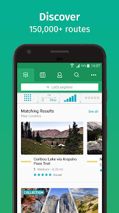
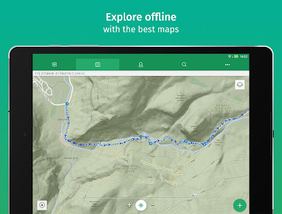
There are several hiking apps for android devices, but one of the best is ViewRanger. It has numerous features that make it better than its competitors, including the ability to mark and save locations you have visited, view and share routes with friends, and access detailed maps of your area. It even helps navigate your hike by showing you where you are in the landmarks on your trail. The only downside is that it’s not free—unlike similar apps like Google Maps, which also have route-mapping features. However, the benefits of ViewRanger outweigh those of other apps, making money spent more than worth it.
This app is a clear winner in the hiking apps category. It’s great for seasoned hikers and those just starting, as the map functions and ease of use make it a perfect tool to guide you through your next adventure. YOu can use it even in areas with no cell phone reception, as this could be detrimental to your battery and your overall experience if the app does not work correctly. What makes this different from other apps of its kind is that it will even work with other devices such as Garmin watches, which means that it can help guide you if you need an extra boost. If your phone runs out of battery or gets lost on the way, ViewRanger has got your back! We recommend using this as soon as possible so that you’ll never get lost again!
Outdooractive: Hiking & Biking
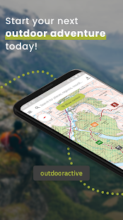
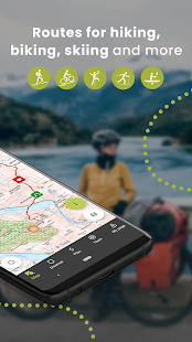
Outdooractive is a free app available for Android and iPhone that you can track your trail mileage, distance traveled, elevation gained, and calories burned on your hiking and biking adventures. Outdooractive is a good app for hiking and biking that provides a lot of helpful information about your trips, including GPS coordinates of where you hit the pavement and trails and pictures of the scenery with timelines detailing when you visited each spot along the way.
The app also provides a general history of your trips, including slope changes, total time spent on the route, and even some fun statistics like the fastest half-mile and longest distance. You can also set up alerts to notify you when you’ve been out for more than an hour or when it’s been raining for more than an hour. The app also offers some handy tools that are great for planning hikes or bike rides ahead of time, including a map view where you can see what’s still to come in terms of mileage or trip length and an elevation chart that shows how much your trip will change in elevation from start to finish.
HiiKER: Find your Hiking trail
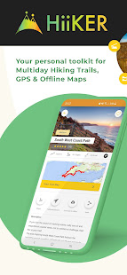
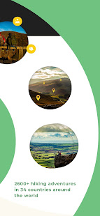
HiiKER is an easy-to-use Android app that helps you find the perfect hiking trail. The app uses your location and allows you to select from various filters, such as distance, difficulty, and dog-friendliness, that help narrow down your search. Once you’ve put in your preferences, HiiKER will display a list of all the suitable trails around you.
The interface of this hiking app is very user-friendly, and you can get started with it in just a few minutes. This app helps you find the best hiking trails around you. It also provides detailed information about each of these trails, such as their distance from your current location, elevation gain, the intermediate time it takes to accomplish them, etc. This app also gives detailed information about each trail, such as its difficulty level, elevation gain (feet), distance from current location, etc. It is easy to use and supplies information about everything from weather conditions to elevation changes.
Avenza Maps: Offline Mapping
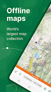
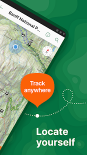
Avenza Maps is an offline mapping app that allows you to download maps for offline usage and use your device’s built-in GPS to track your location on the map. The Avenza Maps app is a free and easy-to-use hiking app that allows you to navigate the wilderness without internet connectivity. It’s an excellent choice for international travelers, but it also works well in places that are difficult to reach with a cell signal, like remote islands and national parks. The app comes with over 200 hiking maps from across the United States, including topo maps, satellite imagery, etc. You can also download any map directly from the app for offline use.
Avenza Maps has an easy-to-use interface and many features for hikers who need more than just a simple topographic map (like scalebar, compass, GPS tracking). The app also offers several advanced options, such as importing GPX files or creating custom maps from scratch using their online editor tool. It supports raster and vectorized maps with different projections, including UTM/MGRS grid systems.
This app lets you load up all your favorite maps before you leave home by connecting to Wi-Fi and downloading the maps you need directly onto your phone. It even enables you to search for maps online, so you don’t have to spend hours on Google looking for suitable ones. You can even create your custom maps! This is useful if you like to send your friends directions to your meet-up spot or if they take a wrong turn while they are out hiking with you. You won’t have to worry about them being lost in the woods anymore because they can easily.
Cairn: Hiking & Outdoor Trail Safety

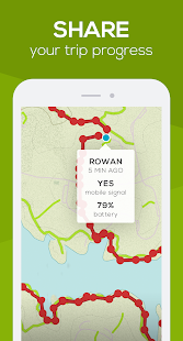
Cairn: Hiking & Outdoor Trail Safety is an app available for both iOS and Android. Cairn comes with several different features that allow you to keep track of where you are and assist you in finding your way back to the trailhead if needed.
The first feature is called “Trail Finder.” This feature allows users to see all nearby trails on a map with their current location indicated by a blue circle, where you can also turn on GPS to get more accurate results. You can zoom inwards and outwards of the map to see more details about each trail, including length, difficulty level, and average elevation gain per mile. You can also filter results based on these criteria, making finding precisely what you’re looking for easy!
One more great thing about the app is it includes detailed maps for every trail listed in the United States National Parks Service database (NPS). It also allows you to share your location with friends and family so they can track your progress.
Wikiloc Outdoor Navigation GPS
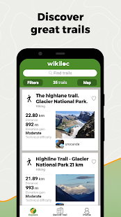
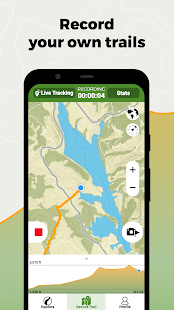
Wikiloc Outdoor Navigation GPS is not your typical hiking app. It allows you to download maps of various trails made by other users. It is a great way to discover new routes and see what others think about them before you go. If you want to make your maps, it can do that as well. The best part about the app is that it can be used offline. You need to download the maps you want to use when you have service, and then they will be available once you lose service. This is great if you are going somewhere with no services or if you don’t have data on your phone.
Walking is a great way to relieve stress and stay in shape. Many doctors suggest walking at least ten thousand steps every day. The app Wikiloc Outdoor Navigation GPS is an excellent tool for hikers to find the perfect trail and record their progress. This app works just like any other GPS that you would use to navigate yourself home or to a new location. You can download maps of trails to use while hiking or search for fresh tracks in the area that you are planning on visiting soon.
E-walk hiking & trekking offline GPS
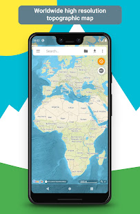
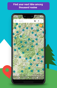
The app enables you to search for points of interest using keywords or select a location on the map by touching it with your finger. After choosing a location, you will automatically see important information about that location, such as its name, exact coordinates, and distance from your current position. You can also use the app’s compass to determine your direction of travel and your speed
You can create your routes, which is excellent if you want to track your path and save it for later or share it with someone else. It will show you where you are at all times on the map by using the phone’s GPS to see how far away from home or the city you are, which comes in handy if you get lost. This helped when I was out there because sometimes things don’t go according to plan!
You can also download maps of different regions like London, New York, etc. Even if they do not have coverage in these areas, they’ll work perfectly fine! It has other functions such as showing current weather conditions as well as forecasted ones.
